Chippewa County boasts an extensive network of snowmobile trails that are meticulously documented through various maps available to winter enthusiasts. The county's official snowmobile map uses a clear legend system with state corridors, maintained trails, and road trails clearly marked, with 1 inch representing 2 miles for easy navigation. Intersection IDs and mileage markers are prominently displayed, helping riders track their location and plan routes effectively.
For the most current trail conditions, snowmobilers can visit the Chippewa Valley Snowmobile Organization website, which provides real-time updates on trail status throughout the winter season. This resource is particularly valuable as conditions can change rapidly with weather fluctuations in Michigan's Upper Peninsula.
The Michigan Department of Natural Resources (DNR) also publishes detailed Chippewa County snowmobile trail maps that are regularly updated.
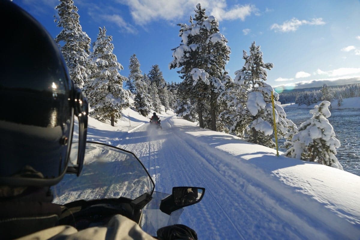
Visitors to the Chippewa Flowage area should note that some trails cross frozen water bodies, requiring extra caution and awareness of ice conditions. These water crossings are clearly marked on official maps, but riders should always check local reports on ice thickness before venturing onto frozen lakes.

| User mode: | Stranger/Member |
| Logged In: | Not Logged In/Logged In |
| Trips: | |
| Working trip index: | 1 |
| Trip edited: | No |
| Trip has saves: | No |